
| CLICK HERE for the stories and photos at my Desert Trail thru-hike journal.
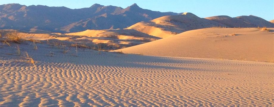
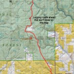
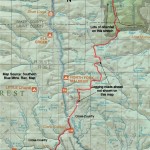
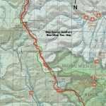
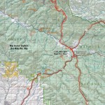
Below is the approximate route of my Desert Trail thru-hike. The trail was originally laid out as far as Highway 78 in Oregon. From there I created my own route all the way to Canada. The Desert Trail Association has designated my route as the official completion of the Desert Trail from Mexico to Canada. (You will find more accurate route information for Highway 78 to Canada by clicking on the links below.) Although this shows the general route I highly recommend ordering the guidebooks for a much more accurate and complete route and description. Thanks to Dave Oline, Gerry Goss, Steve Tabor and the Desert Survivors for this data.Click on the blue placemark buttons for notes I made from the trail, these points should be as accurate as my GPS! Note that this map can be viewed by Terrain, Satellite, or in Google Earth. See the links below for my journal and more information. Desert Trail Intro I have information on each of the new Desert Trail segments from Highway 78 in Oregon to Canada as seen below. For a rough digital map of that stretch of trail, click here. 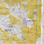
|