
Hike updates (trip journal) can be found here.
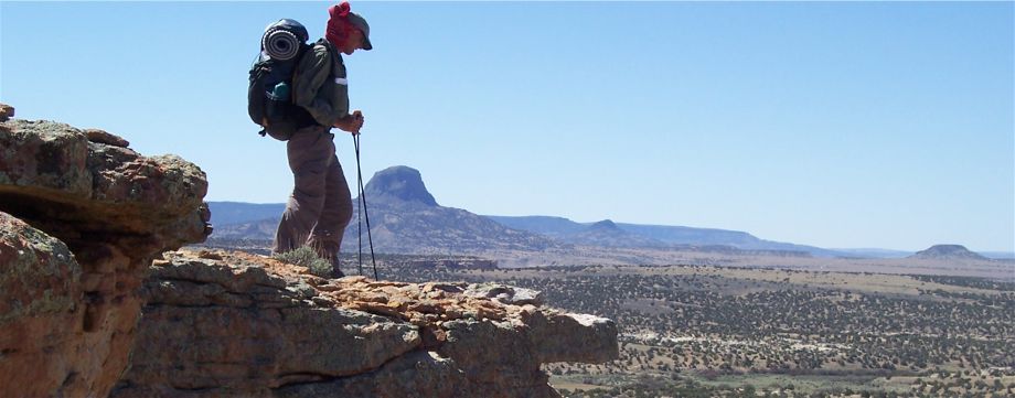
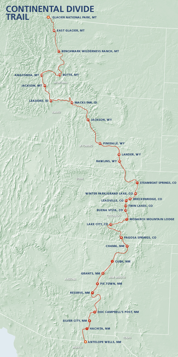
My name is Bruce Nelson, aka Buck. On the trail I will go by my “trail name” of Colter. In 2008 I’m going to attempt a hike of the Continental Divide Trail (CDT.) This trail roughly follows the Continental Divide of the Rocky Mountains from the border of Mexico/New Mexico and finishes on the Montana/Canada border. The trail is about 70% completed. Unlike the Pacific Crest Trail and the Appalachian Trail, the CDT is not well marked, and there are a innumerable alternate routes. The trail runs about 2,500 to 3,100 miles according to most estimates, depending on the routes chosen.
This has turned out to be a big snow year, especially in northern New Mexico and Colorado. To give myself a longer hiking season, and thus to hedge my bets for completing the trail, I’m going to start at the south end so I can begin earlier. My tentative plan is to hike northward until I hit deep snow, then “flip-flop” northward to Wyoming or Montana and head south until I’ve completed the southern part of the CDT. Then I’ll complete the northern part of the trail heading northbound. The veterans say to be ready to modify your hike plan, and I certainly intend to do so anytime it makes sense.
As usual, I plan to go as light as I reasonably can with gear and supplies. I also will limit my “food drops” (mailed food supply packages) because I like to stay flexible. As much as possible I’m going to buy food in trail towns as I hike. Most of these resupply points will be about 30 to 130 miles apart. Still, I’ll be have several packages mailed to me along the route to places where resupply is difficult. These packages will also contain maps, Aqua Mira, camera and GPS batteries and whatever else I think I’ll need.
Lots of things can happen to prevent someone from completing a hike. Most of these problems concern psychology and morale. Although I’m very confident I won’t quit because things are too hard, there’s always the chance my knees will hurt too much or there will be some other “wear and tear” injuries along the way that may end the hike. If things go well, I plan to begin in late April and finish in early October. The unknowns, and the CDT has a whole lot of them, are one of the biggest components of the adventure.
Hike updates (trip journal) can be found here.
great and so difficult adventure awsm…
Thank you Buck for publishing your adventures! I am researching for a CDT thru-hike to celebrate being student debt-free here in the next year or two. Inspiring! I grew up on the other side of the mountain from Buffalo, WY, and have relatives in Fairbanks, and have spent a summer season North of the Brooks Range. Anyway, really great to read about your CDT trek and make all the connections, see the photos, and be inspired. Happy trails!
Thanks Berty! It’s a small world. Best of luck on your own adventures!